
Date of interview: Saturday, 12/31/2012
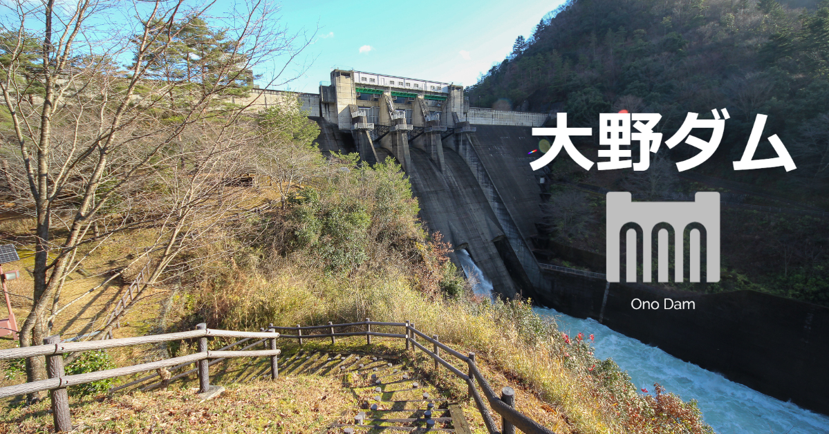
After completing the first day at the Hata River Dam, we stayed overnight in Ayabe and visited the Yura River Dam on the first unit of the second day, stopping at the Wachi Dam on the second unit and the Ono Dam on the third unit.
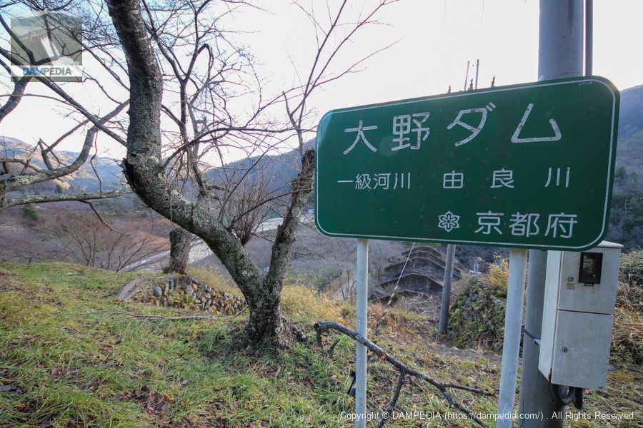
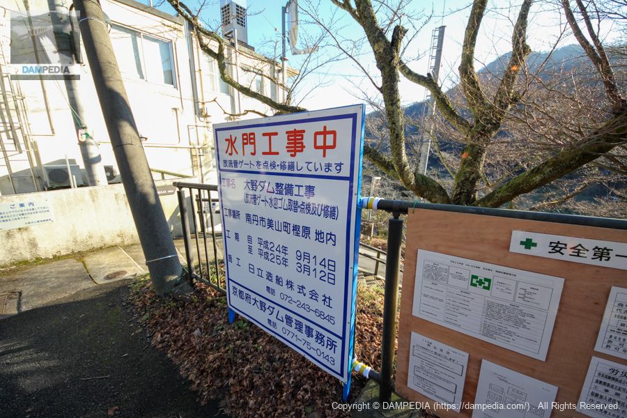
View of the Ono Dam sign from the right bank
There were many cherry trees planted, as if it were a cherry blossom viewing spot. I would definitely like to visit in the spring.
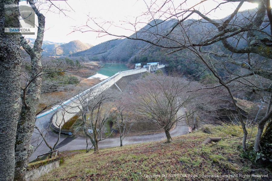
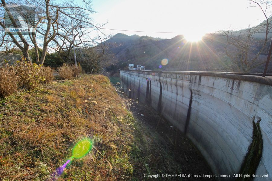
View of the embankment from the right bank
The parking lot on the right bank is higher than the top edge and also serves as an observation deck, providing a somewhat bird's eye view of the dike.
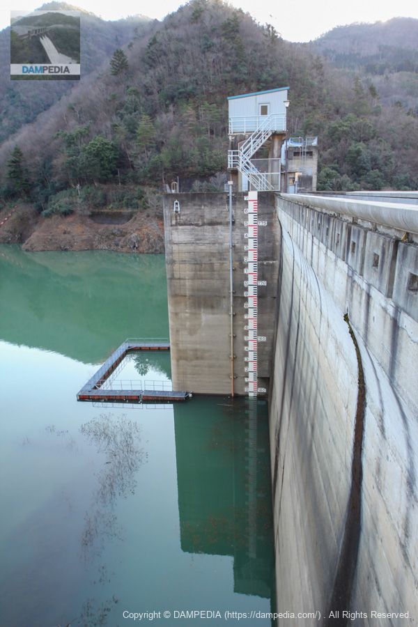
Surveillance cameras are installed inside the discharge pipe gate
At this time, construction was underway to install CCTV at the conduit gate. ...Huh? I noticed while writing this article that the date of the photo was December 31, 2012, so was the construction period extended? Or did they forget to remove the sign?
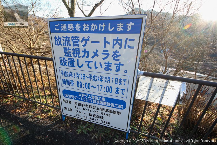
Sluice gate under construction
The conduit gate was undergoing repair work at the same time, including replacement of the watertight rubber.
Stone monument at the right bank dam site
It is a large stone monument; it also appears to be illuminated from three directions, but it is unclear if it is actually lit at night.

View of the upstream bank from the right bank
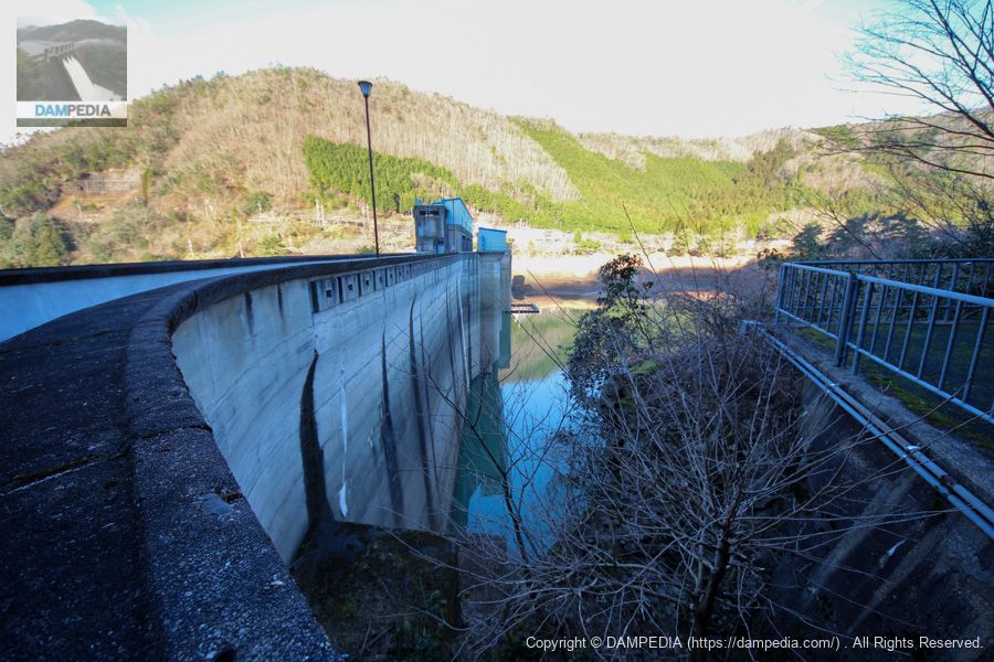
This is the embankment of the Ohno Dam, which appears to curve gently around the high rail and widen outward.
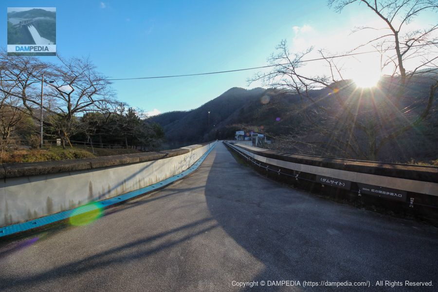
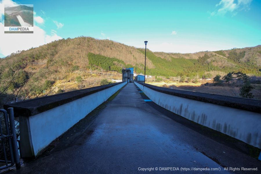
View of the top edge from the right bank
Another feature of this dam is that the embankment is bent in the middle.
View of the levee downstream from the right bank
However, the width of the high railings is so thick that it is impossible to peer downstream. (And it is backlit.)
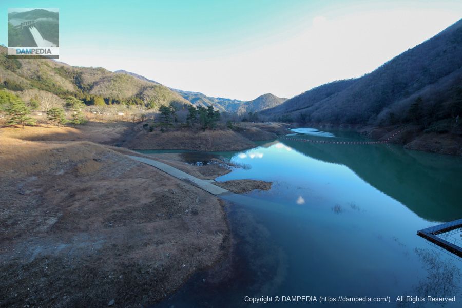
View of the dam lake from the top
The water level appears to be low, but the dammed lake has a complex shape.
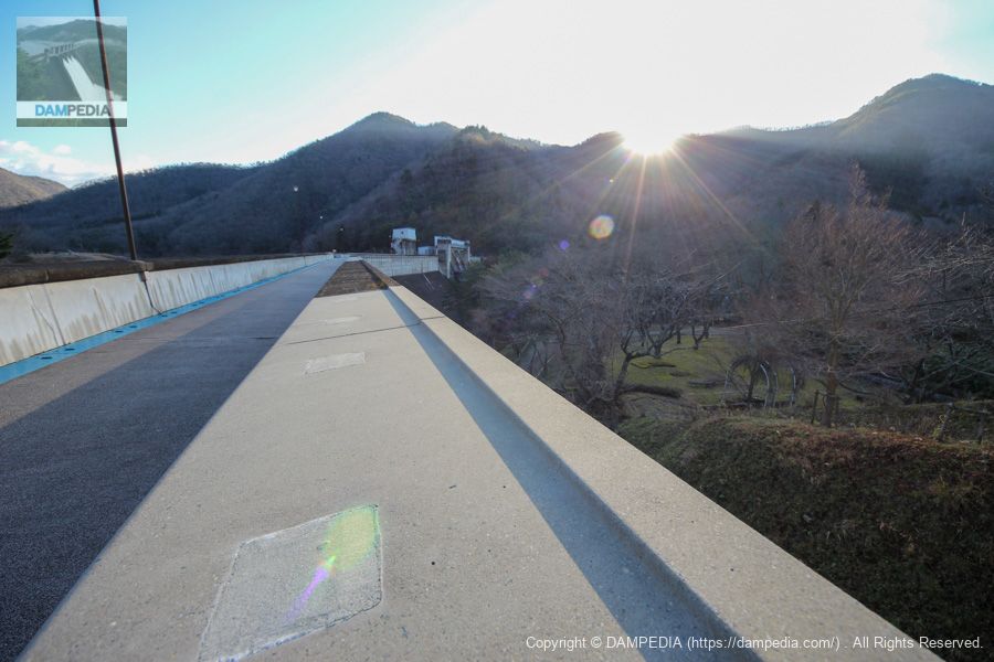
View of the top edge from the bend
The top of the embankment is seen from the point where the embankment is bent, looking toward the left bank.

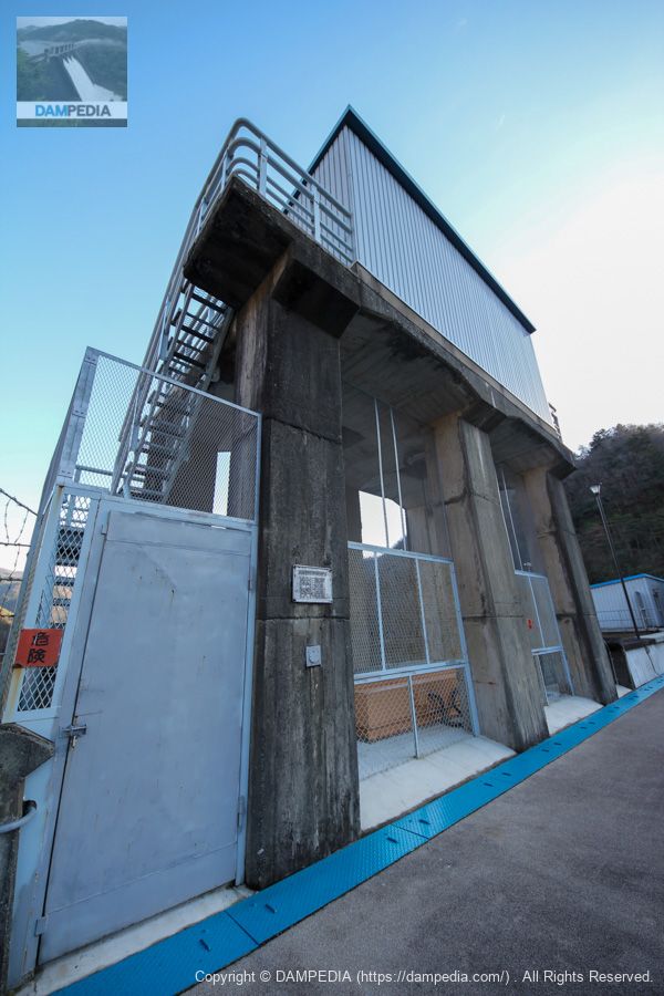
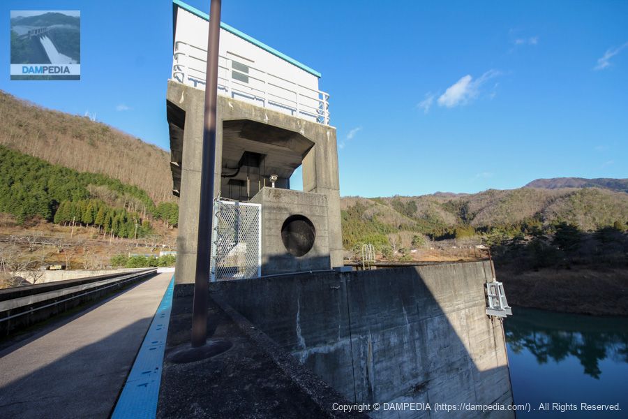
Ono Power Plant Intake
The Ono Dam has a power plant downstream, and this is the intake to send water to it. If you look closely, you can see a simple dentil on the top end railing.
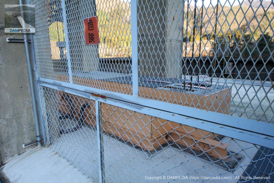
Water intake gate pier
It is a massive gate pier, but I put too much perspective on it lol.
Part of roller gate
I wrote that it is part of a roller gate, but maybe a cover? Maybe it's just a cover.
The gate specifications are as follows
Kyoto Prefecture Ohno Power Plant water intake control gate door
From the local nameplate
Model x Quantity: 1 steel roller gate with water filling valve
Net diameter x drinking height: 3.300x3.300m
Door weight: 13.981 tons
Maximum design depth: 31.950m
Lift: 33.350m
Lifting and lowering speed: 0.5 m/min
Emergency fall speed: 5.0 m/min
Emergency fall braking method: DC generator braking
Produced by: Kawasaki Heavy Industries, Ltd.
Date of production: March 1961
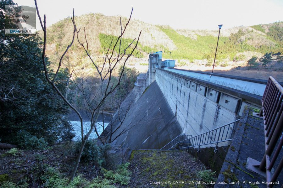
View downstream from the top
Looking downstream from gate #2 in the center. The water was discharged through the conduit gate.

Left bank dam site
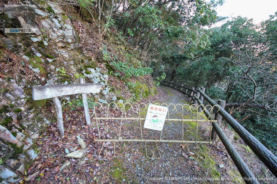
If you go through the top edge to the left bank, the back of it seems to lead to a further promenade, but unfortunately it was no longer passable.
View of the upstream bank from the left bank
From the fence on the right, the upstream side would be clearly visible, but unfortunately, it is from this position.
Walkway in the downstream direction on the left bank
Entry was also restricted in the downstream direction.
View of the levee downstream from the left bank
On the downstream side, you can manage to see the levee, but if the morning is a bit early, the levee is in the shadow of the mountain.
View of the top edge from the left bank
It's a nice change from yesterday. Unfortunately, the levee is now in the shadow of the mountain.
View of the Crest Gate Pier from the left bank
There is a large concrete block with a hole, probably an air vent hole.
View of the downstream face of the levee from the plaza downstream of the right bank
We descended from the top edge to the downstream side. It would have been nice to see the downstream side a little more clearly, but this is the limit.
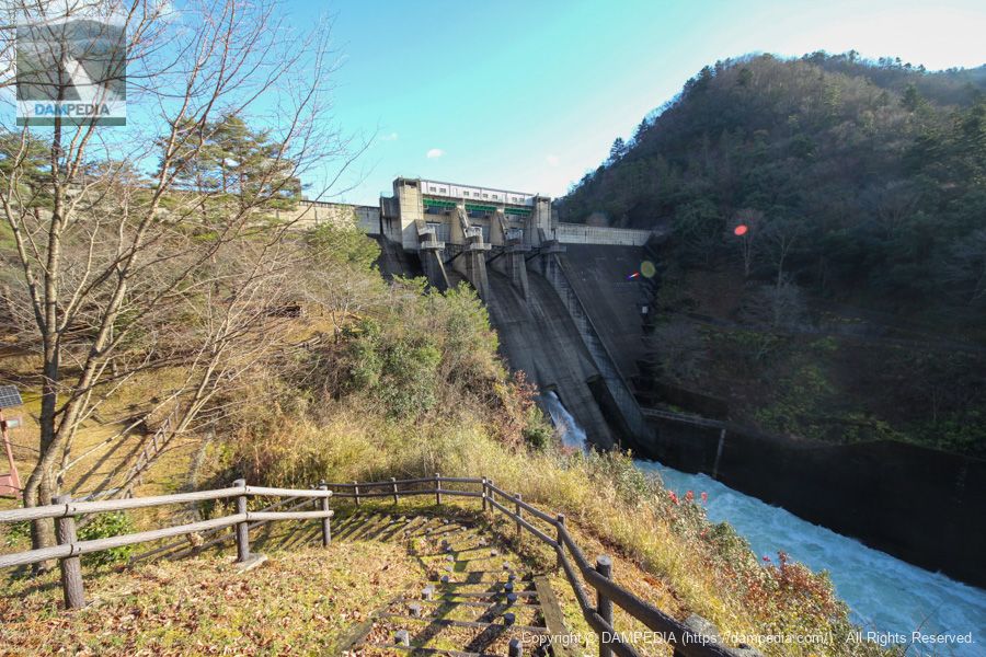
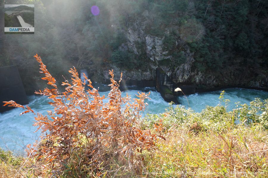
View of the area around the sub-dam from the right bank
The discharge from the conduit gate caused the downstream to be somewhat rough.
Ono Dam conduit discharge animation
Please also watch the 1-minute video of the discharge from the conduit gate.
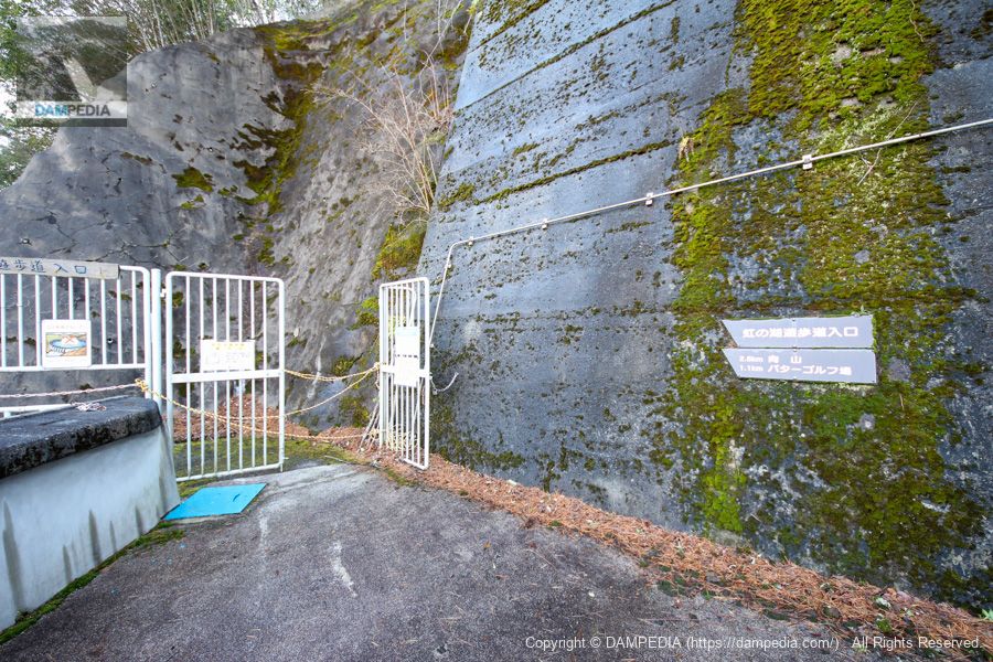
Mysterious Remains
There are mysterious remains on the downstream side. Are these the remains of a plant at the time of construction?
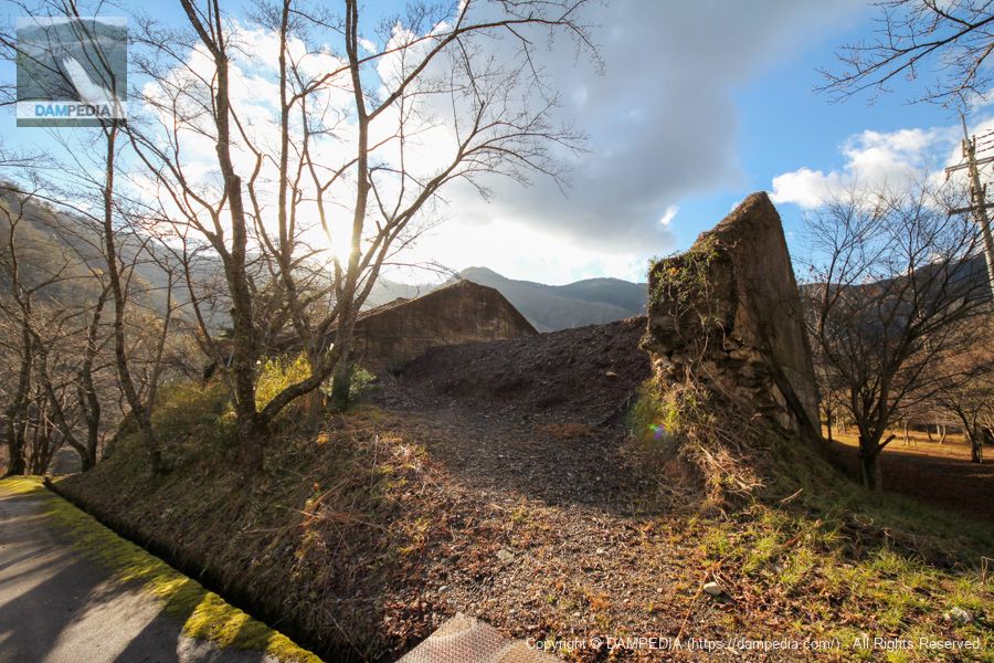
It still looks like a plant site in the construction photos.
https://www.pref.kyoto.jp/dam/oono/documents/kensetu.pdf
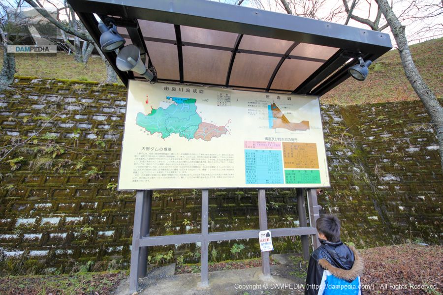
information sign
My son is staring at the sign.
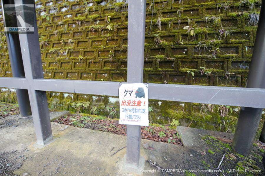
Beware of bears
I think they were interested in this one, not the sign lol.
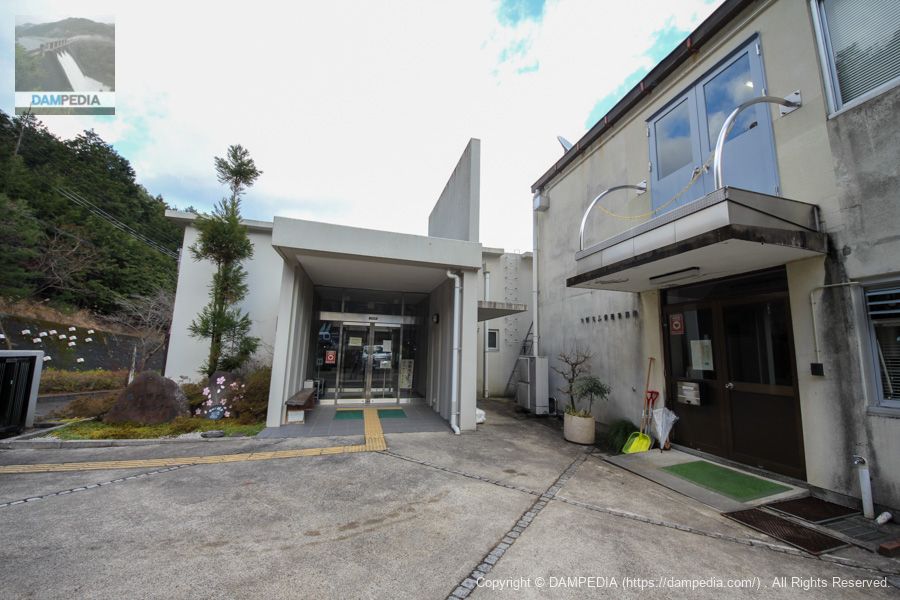
Visitor Center and Administration Office
It was too early in the morning and the visitor center was closed. I would like to visit the inside again on a return visit.
Speaking of the Ono Dam, Typhoon No. 23, which struck in October 2004, caused great damage in Kyoto Prefecture, flooding the Yura River. The picture of a sightseeing bus submerged in the floodwaters and passengers escaping on the roof of the bus must have left a strong impression on those who are familiar with the area.
At that time, the Ono Dam is well known for its operation to protect bass by minimizing the amount of water released, placing the highest priority on human life, even though the inflow increased due to heavy rainfall and was about to exceed the maximum water level.

In addition, recent torrential rain disasters haveExtreme Flood Disaster Prevention Operation(proviso operation, so-called emergency discharge) has been taken up as an issue, and a series of demonstrations have been conducted since 2019 in order to accept the demand of the times that the water should be discharged in advance. (as of 2020)
https://www.pref.kyoto.jp/dam/oono/documents/results2.pdf
The Ono Dam is a dam that prioritizes human life. I would like to visit again when the cherry blossoms are in bloom.
Ono Dam Specifications
| Location | Aza Nakanoyama, Kashihara, Miyama-cho, Nantan-shi, Kyoto |
| River Name | Yura River System Yura River |
| Objective | F (flood control, agricultural disaster prevention) P(Power generation) |
| Model | G(gravity-fed concrete dam) |
| Bank height | 61.4m |
| Bank length | 305m |
| Dam volume | 167,000m3 |
| Watershed Area | 354km2 |
| Reservoir area | 186ha |
| Total storage capacity | 28,550,000m3 |
| Effective water storage capacity | 21,320,000m3 |
| Dam operator | Kinki Regional Construction Bureau |
| Main body constructor | Taisei Corporation |
| Year of launch | 1957 |
| Year Completed | 1960. |
| Name of Dam Lake | Rainbow Lake |
Other facilities/observations
It has it all, as it is also a popular spot for cherry blossoms and autumn leaves.
| Parking lot | ○ |
| Toilet | ○ |
| Park | ○ |
| PR Exhibition Hall | ○ |
| Fishing | ○ |
Comment