
Date of interview: Monday, February 11, 2013
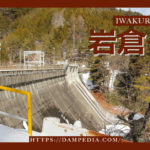
On this day, we took Mr. Miyajima, a dam enthusiast who came to Japan, on a tour of Shiga's dams. And then we visited Ohara Dam for the first time. Ohara Dam was originally started in 1943 and completed in 1958, although construction was interrupted during the Pacific War.
The dam handbook states that the old embankment was completed in 1962, but the local sign says that "water storage began on July 24, 1955" (not "completed").Shiga Prefecture Web Pageis listed as "completed in 1958," so we have adapted it here.
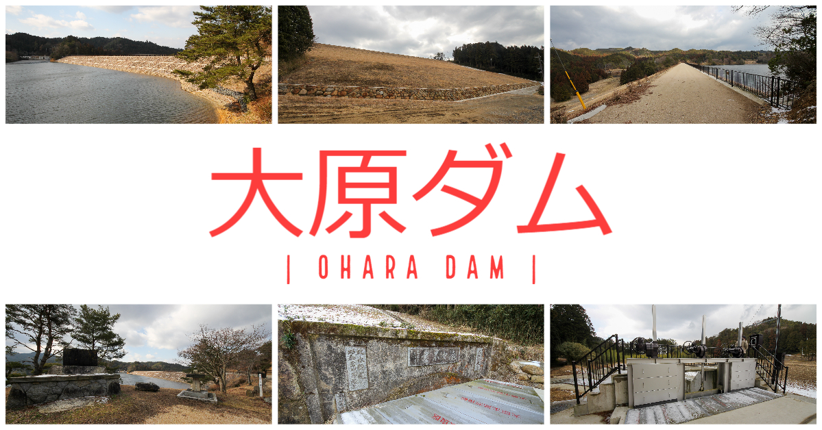
View of the monument on the right bank and the upstream face of the embankment
There is space to park on the right bank, so park your car there and visit the site. There are several stone monuments in a row. The stone monument on the left reads "Ohara Reservoir" with part of the specs written on the back. The unusual shaped stone monument on the right reads "Coordinate Pillar" and indicates 136 degrees 17 minutes east longitude, 34 degrees 54 minutes north latitude, and 309.200 meters above sea level.
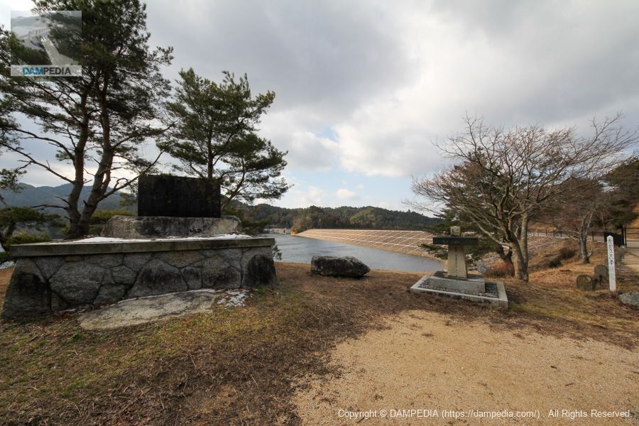
Signage by land improvement district
Huh! This sign says "Completed in 1955"....
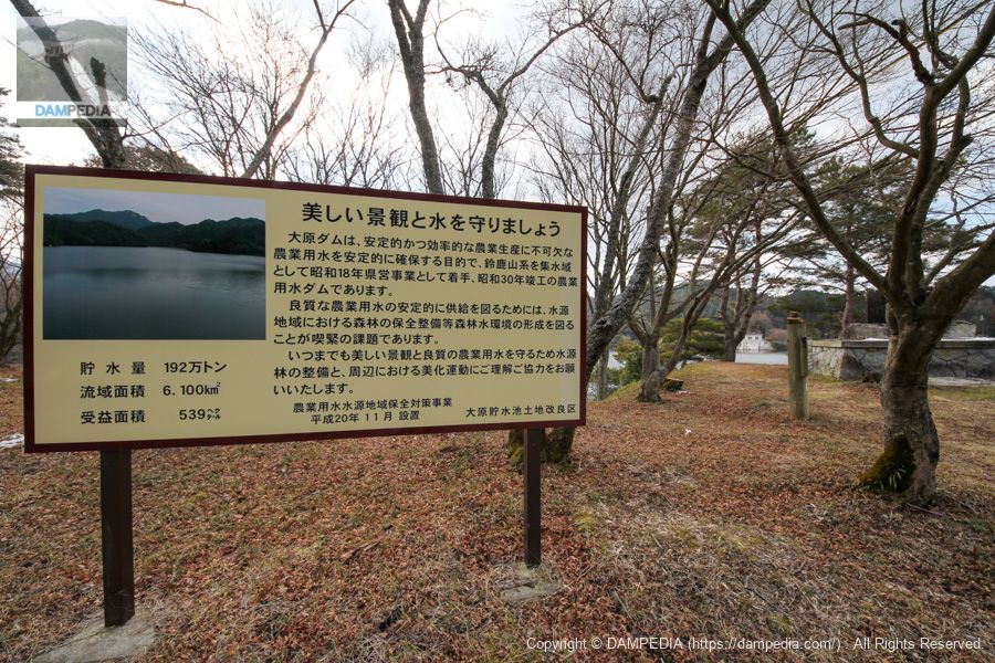
JGSDF Prefectural Road Repair Monument
On the right bank is Shiga Prefectural Road No. 129, Minami-Tsuchiyama-Koka Line (Chinese "Deer" constellation (one of the 28 mansions)road) runs through the area, but it appears to be a monument to the renovation work done by the Japan Ground Self-Defense Force (JGSDF).
Monument in memory of his achievements
I couldn't tell who or what the achievement was because it wasn't listed...

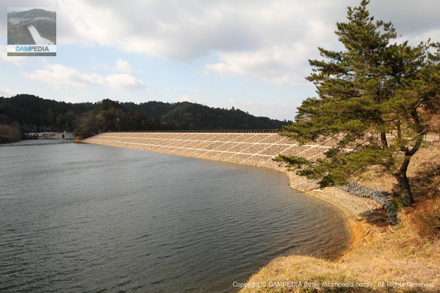
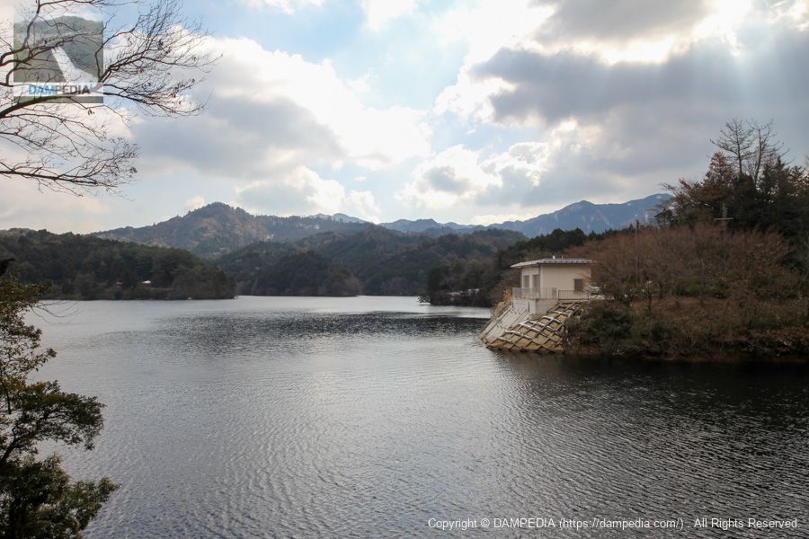
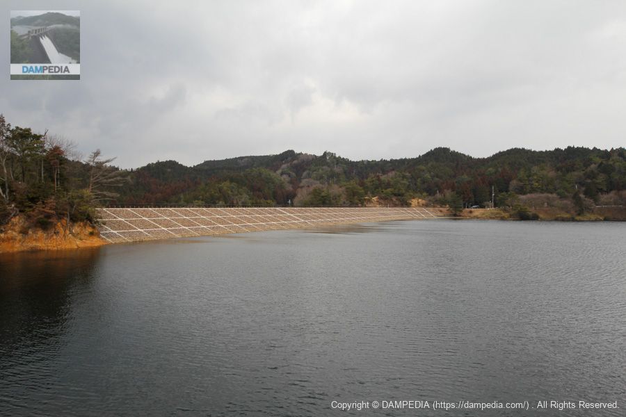
View of the upstream face of the embankment from the right bank
This is a beautiful embankment that was just renovated two years ago. Later in 2015, solar panels for photovoltaic power generation were installed on this upstream side, but this may be a valuable shot before that.
View of the top edge from the right bank
Unfortunately, the top edge was off-limits. It was a shame to see such a beautifully maintained site, but it could not be helped.

View of the embankment from the right bank
Shoot through the fence.
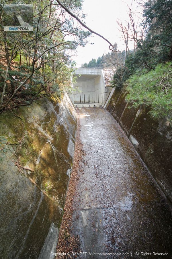
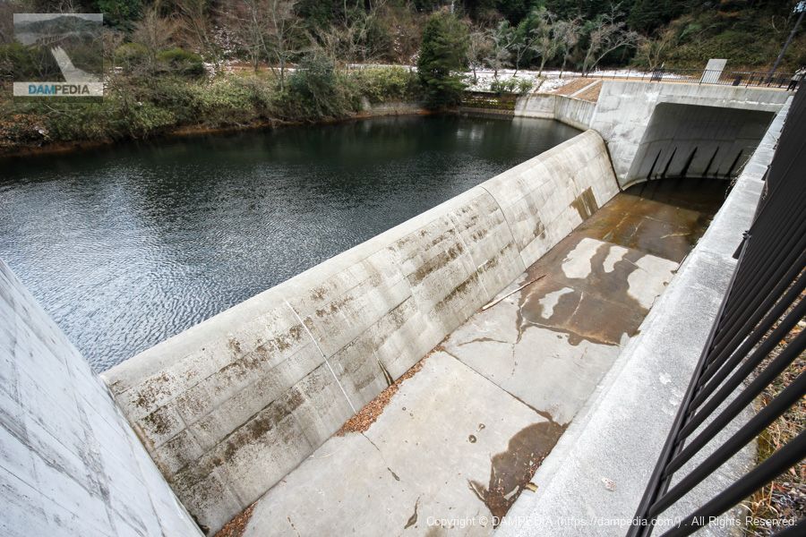
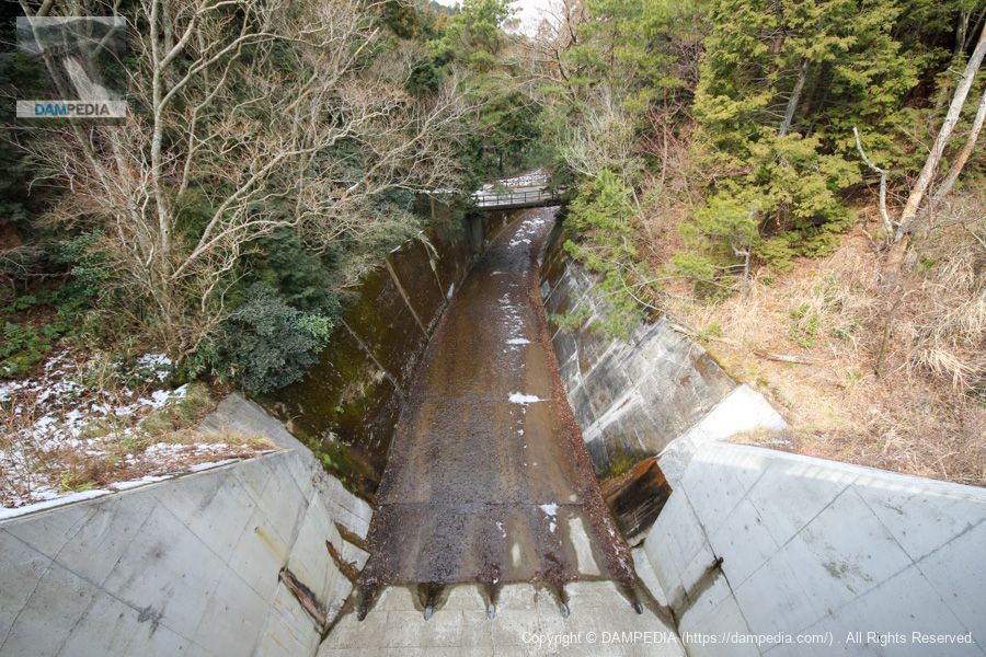
View of the flood discharge from the road on the left bank
You will travel by car to the left bank, and on the way you will pass a bridge over the channel. At this point, you can see the flood discharge. The canal itself is still in use as it was before the renovation.
Looking downstream from the bridge over the channel
The lower reaches of the river flow as the Ohara River, which then joins the Soma River, which in turn joins the Yasu River and flows into Lake Biwa.

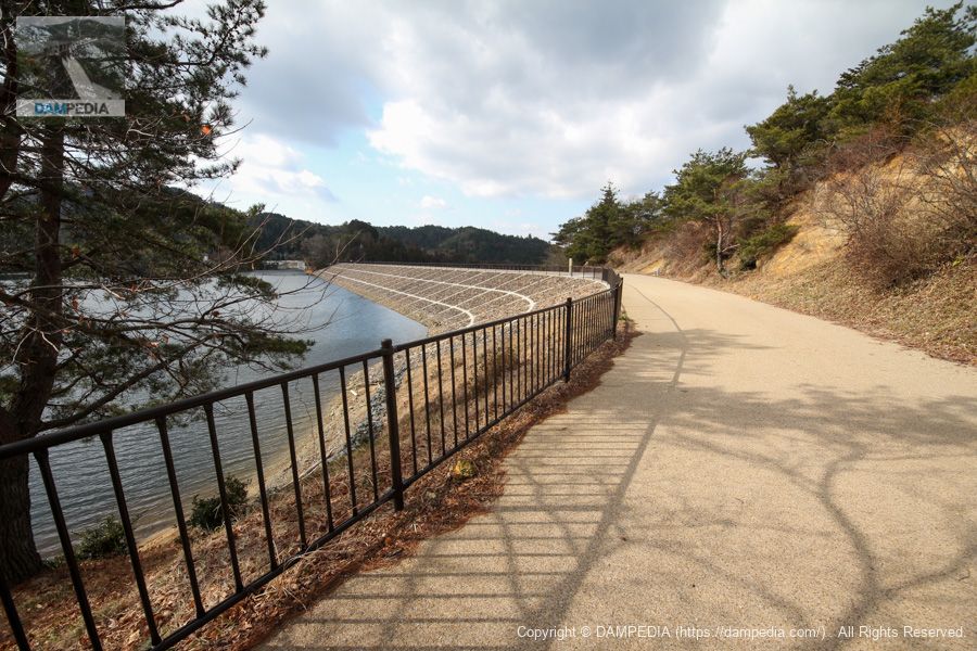
View of the top edge from the left bank
The left bank is also blocked by a fence.
Downstream view of the levee from the left bank
The downstream face of the embankment is also beautiful. The embankment was reinforced with crushed and compacted earth to make effective use of excavated soil.

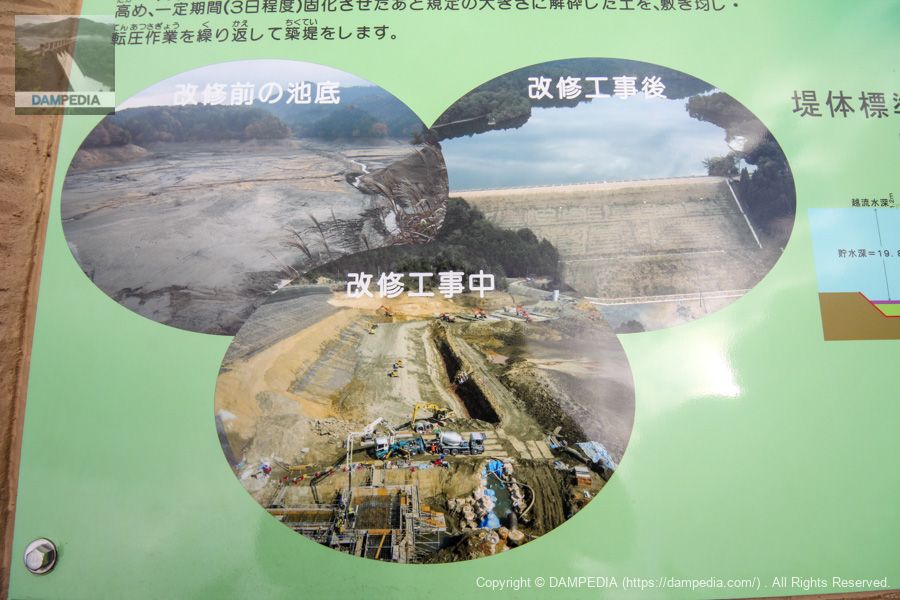
The crushed and compacted earth method was explained in a simplified manner on a signboard at the site.
In this method, the muddy soil from the bottom of the pond and the soil excavated from the embankment are mixed with cement milk to increase strength, allowed to solidify for a certain period of time (about 3 days), and then crushed to the specified size and repeatedly spread and compacted to form the embankment.
From the local sign
The paper is available on J-STAGE for more details, and those interested should read it.

For those who are not so sure about the paper, Fujita's website has an easy-to-understand explanation.

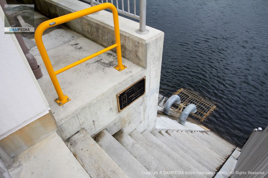
View of the dam lake and water intake facilities from near the flood discharge
The water intake facilities are also up-to-date.
Side channel type flood discharge
This is a common type of side channel flood discharge.
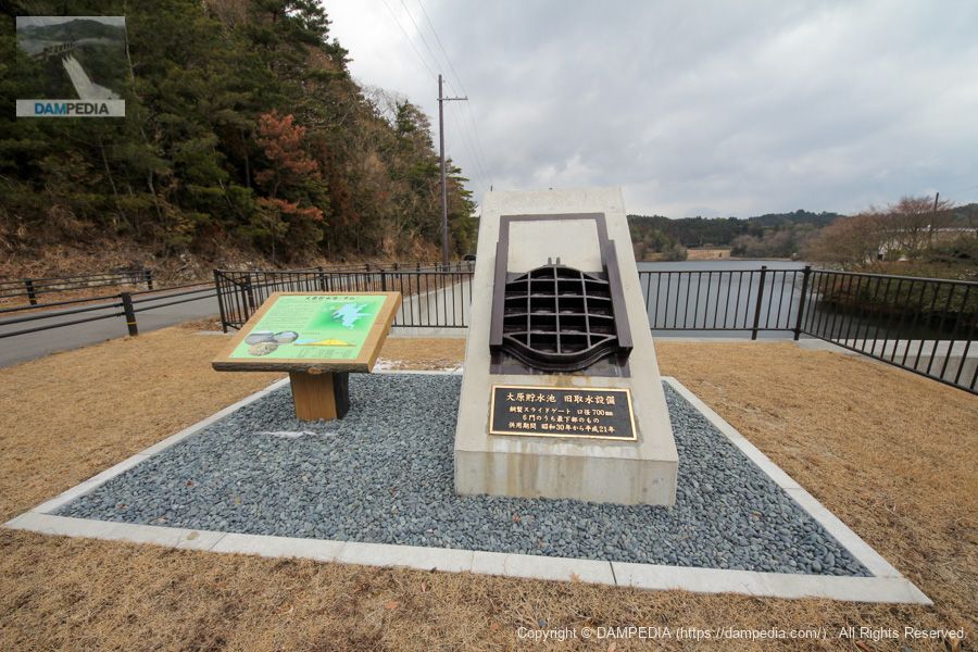
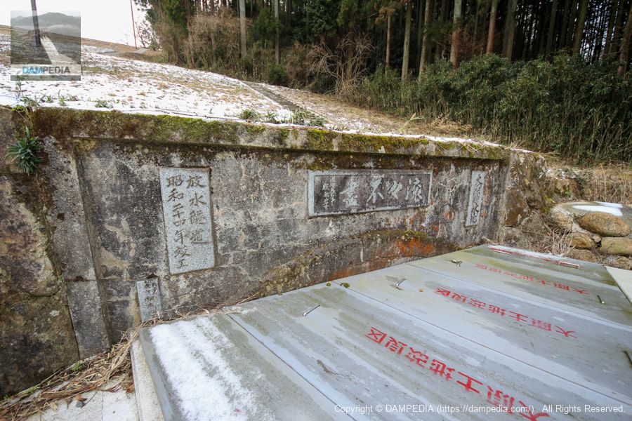
Monument and information sign for the old water intake facility
This is a steel slide gate (700mm diameter) that was the lowest of the six gates used in the water intake system before the renovation. It was used from 1955, when construction was completed, all the way through to 2009.
Photographs of the refurbishment of the on-site sign
A sign at the site showed pictures of the renovation work.
Looking downstream from the bridge over the flood discharge
The bridge seen ahead is the point photographed above. That bridge also seems to have been built before the renovation.
Ohara Reservoir Administration Building
It seems that even though it is an administration building, it also serves as a control room for the water intake facilities.

View of the upstream face of the embankment from the area of the water intake facilities
It is stone-lined and well revetted, giving it a very neat appearance.
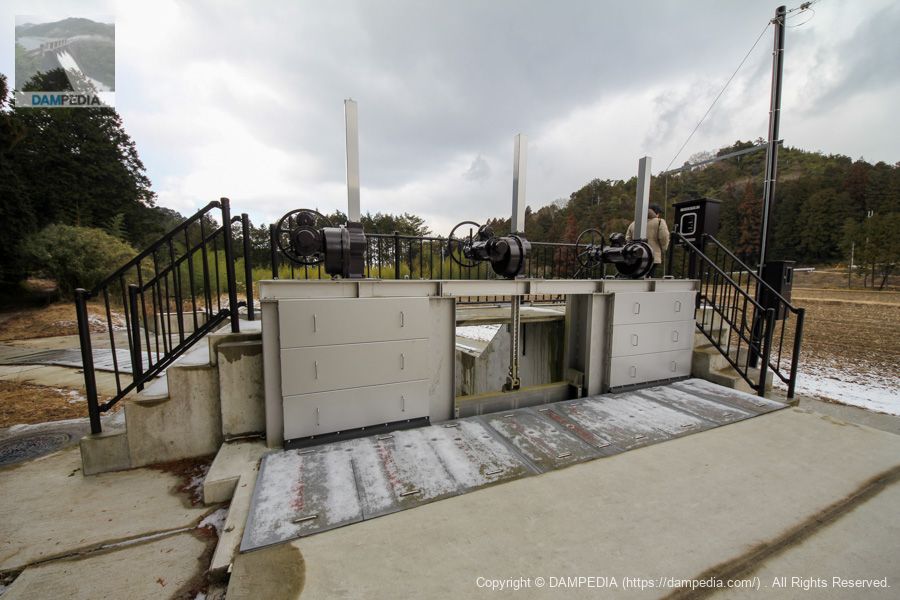
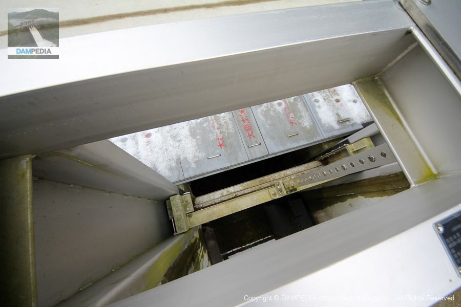
water intake facility
The water intake facility is located behind the administration building.
The nameplate contains the specifications.
Ohara Reservoir intake gate
From the local nameplate
Gate type: Stainless steel slide gate
Effective diameter: 700 dia.
Number of gates: 5
Diagonal flume pipe: circular buried steel pipe (STPY400) Φ1000
Date of production: February 2011
Production and installation: Marutoku Ironworks Co.
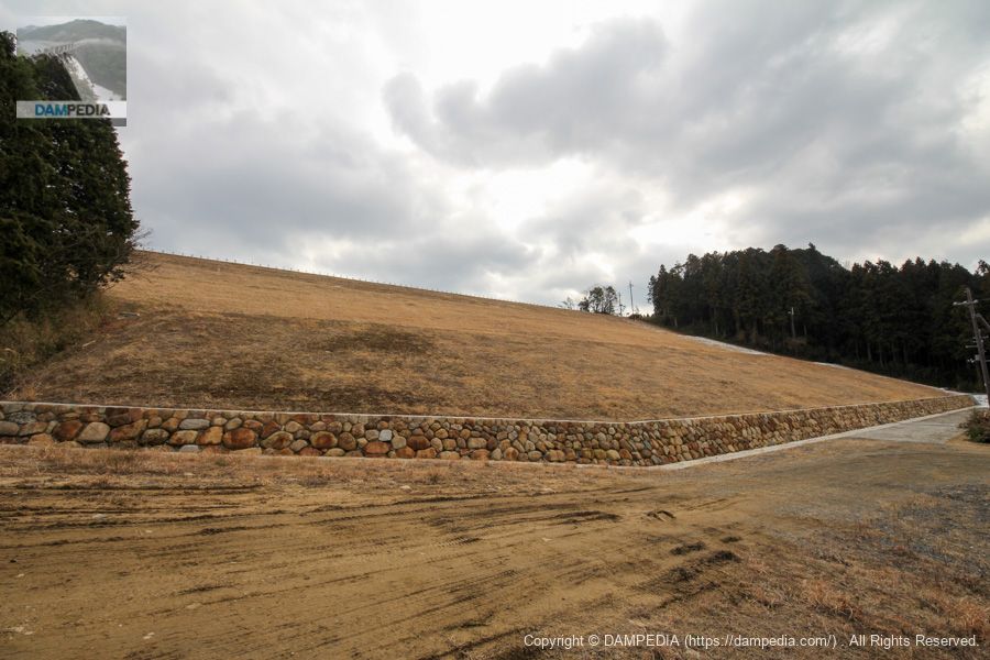
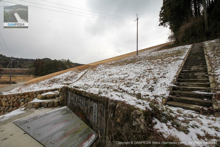
directly under the levee
The levee has been moved to just below the dike. The embankment height of 27.4 m remains the same after the renovation. It is a point where one can feel the size of the embankment.
Agricultural Water Portal
Water from the intake system flows through the tunnel channel from here, but it was culverted during the renovation. The portal was there before the renovation, but it says "completed in 1949. It is likely that only the tunnel was built first. The letters in the center were written by the governor at that time.copious (flowing)It is written, "The
View of the downstream face of the embankment from just below the left bank
It is impressive that the historic portal has been left intact while undergoing major renovation work.
trunk line diversion works
The diverted water is then diverted to the Ohara Trunkline Canal andblazing sunThe water will be diverted to the main canal and Ohara River. Production isSankei Kogyo Co.Corporation. This area appears to have been replaced in conjunction with the renovation.
A small plaque on it stated the following
trunk line diversion works
From local plate
Ohara trunk line gate, Ohara river gate, Aburahi trunk line gate
Design depth: 1200mm
Net Diameter x Door Height: 1360x1200, 1670x1050, 1170x1200
Lift: 1200mm-0 to -550mm (-440mm Ohara River)
Production number: 23-0001
Completion date: February 2011
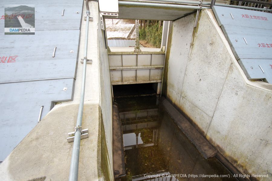
View of the central gate from above.
It is simple and easy to understand.
View of the central gate from downstream
The gate was open but little water was flowing.
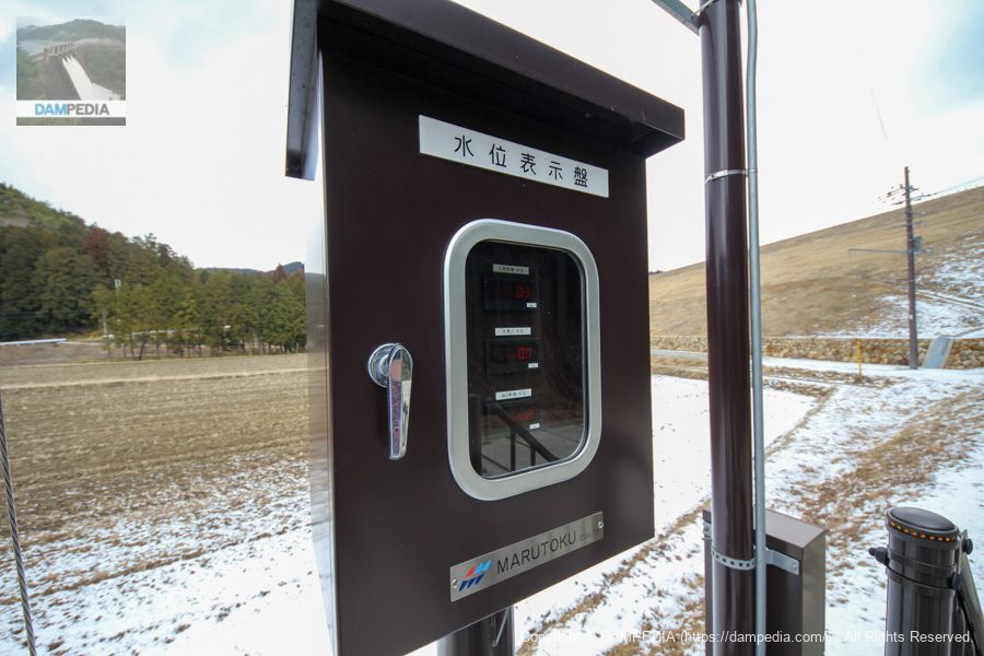
Water Level Display Panel
The water level indicator board was from Marutoku Iron Works. The water level on that day indicated 0.3 m for the Ohara trunk line, 0 m for the Ohara River, and 0.2 m for the Abura-Hi trunk line.
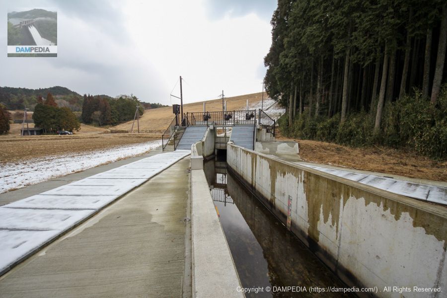
View of the dike and diversion works from downstream
The Ohara trunk canal is on the left, the Ohara River is in the middle, and the Abura-Hi trunk canal is on the right. From the diversion works, the Ohara River was an open channel.
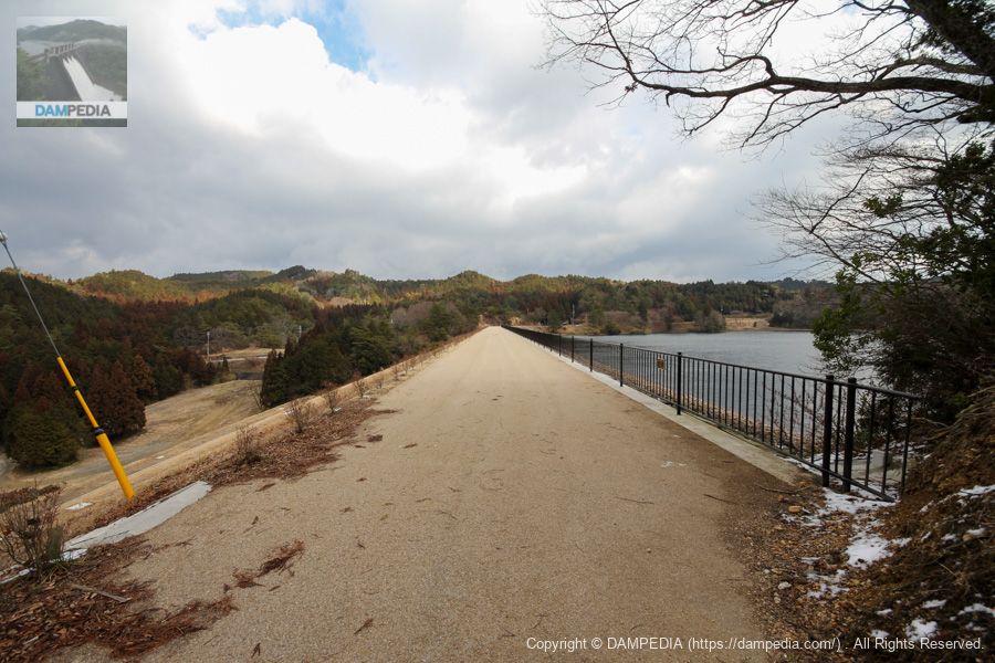
Last look at the levee
The weather was not great with cloudy skies, but the Ohara Dam was undergoing a major renovation for the safety of the community, while properly preserving the historic parts of the dam.

Ohara Dam Specifications
Compared to the levee before the modification, the levee top length has increased and the levee volume has increased. In addition, as supplemented by on-site signage, the water depth is 19.8 m, the planned flow rate is 1.65 m3/s, and the design flood volume is 113 m3/s.
| Location | Kouga-cho, Kouga City, Shiga Prefecture, Japan |
| River Name | Ohara River, Yodo River System |
| Objective | A (irrigation water) |
| Model | E(earth dam) |
| Bank height | 27.4m |
| Bank length | 209.2m (before renovation: 191.7m) |
| Dam volume | 285,000m3 (before renovation: 240,000m3) |
| Watershed Area | 6.1 km2 (direct: 3.9 km2, indirect: 2.2 km2) |
| Reservoir area | 19ha |
| Total storage capacity | 2,120,000m3 |
| Effective water storage capacity | 1,830,000m3 (before renovation: 2,120,000m3) |
| Dam operator | Shiga prefecture (Kinki area) |
| Main body constructor | Fujita Santo Kogyo Co. |
| Year of launch | 2007 (before renovation: 1943) |
| Year Completed | 2011 (before renovation: 1958) |
| Name of Dam Lake | Ohara Reservoir |
Other facilities/observations
There is space to park, but I am giving it a △ because it is not clear whether it can be called a parking lot or not.
| Parking lot | △ |
| Toilet | × |
| Park | × |
| PR Exhibition Hall | × |
| Fishing | ○ |
Comment