
Location: Aza Takamichi, Oaza Kashii, Higashi-ku, Fukuoka City, Fukuoka Prefecture
Date of interview: Sunday, August 08, 2010
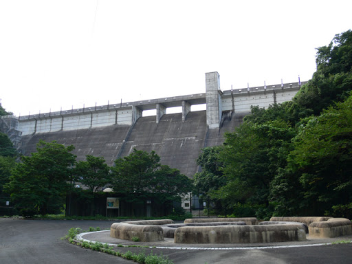
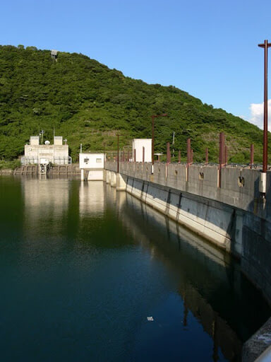
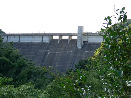
View of the levee from the left bank on the downstream side
The Hase Dam is a water supply dam operated by Fukuoka City and serves as an important water reservoir for Fukuoka citizens.
At first I thought it was "Hasedam", but it turned out to be "Nagatani Dam". There are other dams in Hyogo and other prefectures with the same form and different syllabary, so it is a bit confusing. In fact, I mistook it for the Hase Dam in Hyogo Prefecture and thought it was a pumping-type dam dedicated to power generation.
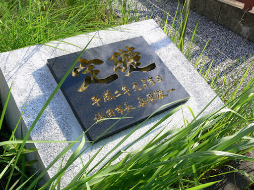
Fixed foundation stone on the left bank
Visited in mid-summer, and it was just hot! The cornerstone looks hot too!
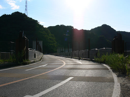
View of the top edge from the left bank
The top end is open to automobile traffic. Somehow it looks like there might be runners at night...
View of the dam lake from the top
The dam lake is called "Mikazuki Lake," but "Mikazuki no Umi" is correct, not "Mikazuki Ko.
The name of the dam lake is a mystery because I thought the dam lake was in the shape of a crescent moon, but it is not.
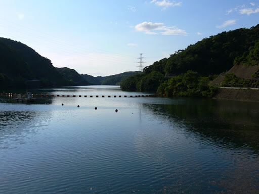
Incidentally, "mikazuki ko" is a completely different thing: "When a meandering river changes its channel due to long-term erosion or other effects, the old river channel is left behind and becomes a pond or lake" (Wikipedia).
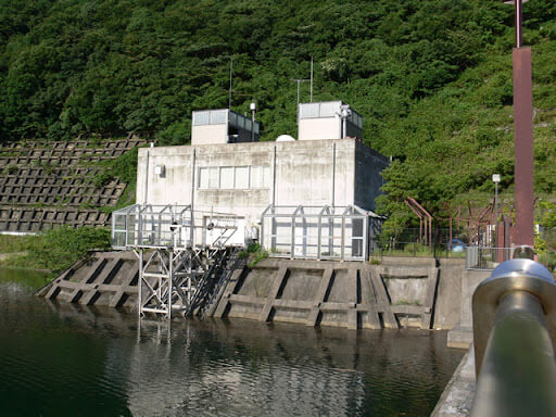
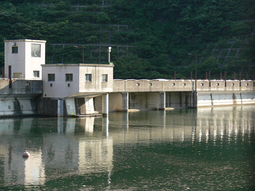
View of the management facility from the top
It appears to be an unmanned facility.
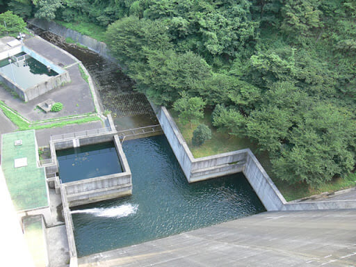
View of the reduction work from the top edge
This is a convex abatement. There is what looks like a water reservoir on the upper left of the reduction wall and further left, but what is it?
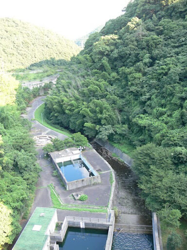
View downstream from the top
Continuing ahead, the Sanyo Shinkansen and the Kyushu Expressway can be seen.
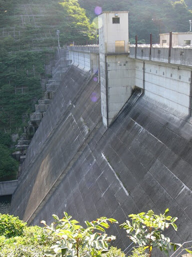
View of the embankment from the right bank on the dam lake side
It looks like the water level is quite high!
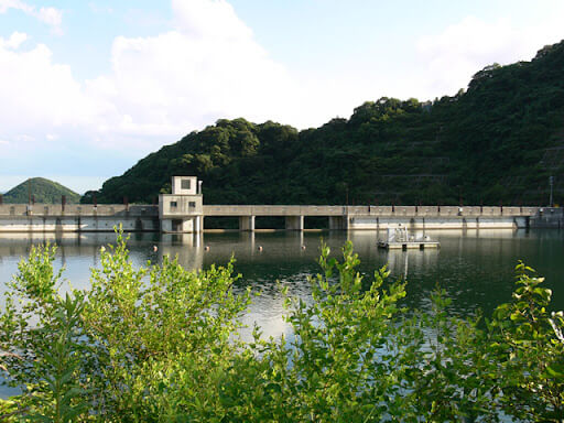
View of the flood discharge on the lake side of the dam from the promenade on the left bank
The left bank is a boardwalk that is accessible only on foot. Even though it was a rather hot day, there were a few people walking along. And when I looked at the flood discharge, the water level was almost ready to discharge!
View of the embankment on the lake side of the dam from the promenade on the left bank
But I guess the water supply alone is enough to throw up....
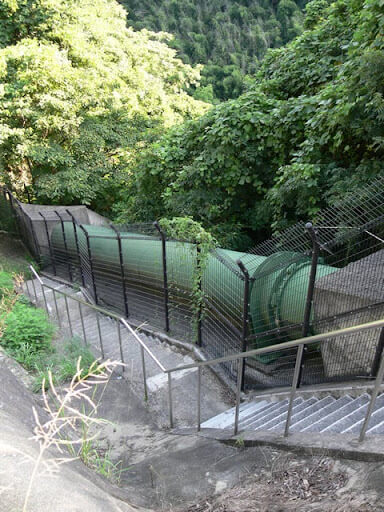
Hydraulic iron pipe?
Since the catchment area of this dam is only 1.8 km2, water is pumped from the Tadara intake plant downstream for storage. The photo is probably a water hydraulic pipe for this purpose.
View of the levee from the road on the left bank
Continue downstream. On foot...
It's already hot, hot and sweaty, but we're here in our 2-ton long car, so we have to walk!
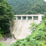
View of the levee from the park downstream
And finally, we arrived downstream.
Well, it was hot!
But I couldn't get to the nadir and this is the limit...
Then it was back on foot again to the skyline....

dam characteristics
| River Name | Tara River system Hase River |
| Objective | water for drinking water |
| Model | gravity-fed concrete dam |
| Bank height | 53.8m |
| Bank length | 159m |
| Dam volume | 136,000m3 |
| Watershed Area | 94.8km2 |
| Reservoir area | 33ha |
| Total storage capacity | 4,920,000m3 |
| Effective water storage capacity | 4,850,000m3 |
| Dam operator | Fukuoka City |
| Main body constructor | Tobishima, Mitsui, Takenaka, Matsumoto |
| Year of launch | 1978 |
| Year Completed | 1993 |
| Name of Dam Lake | Lake Mikazuki (Mikazuki no Umi) |
Other facilities/observations
There is a parking space on the left bank of the Tenbata level. It is very close to the Fukuoka Interchange, so you can easily come here.
| Parking lot | ○ |
| Toilet | × |
| Park | ○ |
| PR Exhibition Hall | × |
| Fishing | × |
Accommodations that may be close to Hase Dam


Comment