
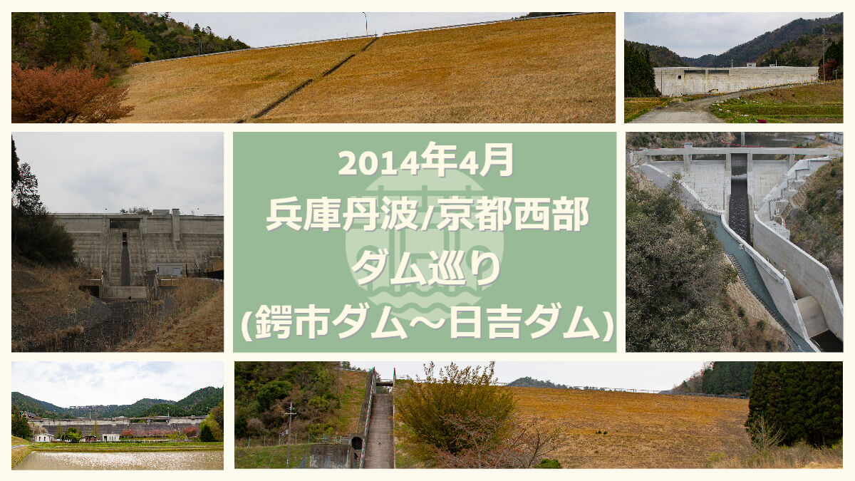
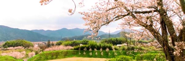
On this day, I visited dams in the Tamba region of Hyogo Prefecture to participate in the award ceremony of the Japan Dam Association's photo contest at Hiyoshi Dam, so I decided to tour the dams before the ceremony started.
Although many of them are fill dams, they are important dams and reservoirs that support agriculture in the Tamba area, so be sure to visit them. Also included are dams for which the Sasayama Land Improvement Office of the Tamba Prefectural Government, Hyogo Prefecture, began distributing "reservoir cards" on April 11, 2022.
As for the Kurigara Dam, it was off-limits at the time, so we will probably spend a little more time there. As for the Hase Great Pond, there are not so many points of interest to visit, so I think we can shorten the time spent there.
| Arrival time | starting (departure) time | the time required | length of one's stay | |
|---|---|---|---|---|
| 5:35 | A: Kyoto Longitudinal Expressway Chiyogawa IC | |||
| ↓ | 0:45 | |||
| 6:20 | 6:40 | B:Tsubashi Dam | 0:20 | |
| ↓ | 0:10 | |||
| 6:50 | 7:10 | C:Fujioka Dam | 0:20 | |
| ↓ | 0:15 | |||
| 7:25 | 7:40 | D:Sanaka Dam | 0:20 | |
| ↓ | 0:10 | |||
| 7:50 | 8:00 | E:Kurigara Dam | 0:10 | |
| ↓ | 0:15 | |||
| 8:15 | 9:10 | F:Sanbo Dam | 0:55 | |
| ↓ | 0:20 | |||
| 9:30 | 10:00 | G:Hase Oike Pond | 0:30 | |
| ↓ | 0:40 | |||
| 10:40 | 10:55 | H:Mikumari Dam | 0:15 | |
| 0:25 | ||||
| 11:20 | 11:40 | I:Hatagawa Dam | 0:20 | |
| ↓ | 0:20 | |||
| 12:00 | J:.Hiyoshi Dam |
Route Map
Accommodations that may be just right for this route
Pointers
- Arrival and departure times are calculated based on the Exif data of the photos.
- For locations not photographed other than the dam, calculations are based on analogies from before and after.
- Please consider the time required and length of stay as a guide only.
- Dam tours can be dangerous. Please follow the directions given by road signs and on-site information signs.
- This site will not be held responsible for any problems that may occur through this dam tour.
Comment