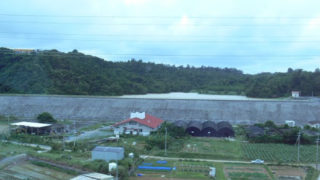
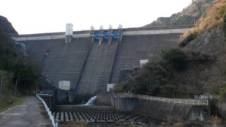
 Dam in Mie Prefecture
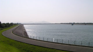
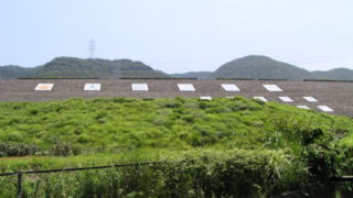
1325-Komonochi Regulating Pond
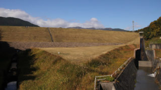
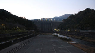
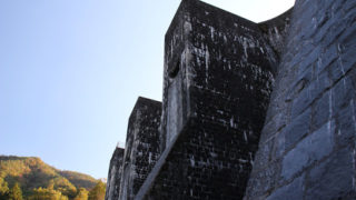
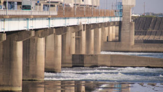
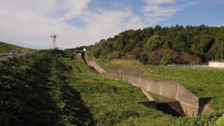
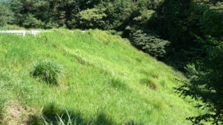
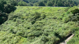
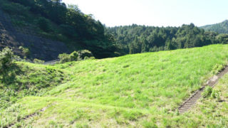
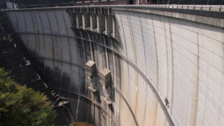
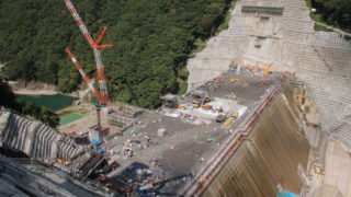
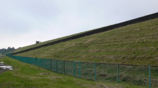
The Komono Regulating Pond is a dam located in the central part of the Mie Irrigation Canal managed by the Japan Water Agency. It is an important dam that supplies water to the cities and towns of Yokkaichi, Suzuka, and Komono, along with agricultural water to the Takeya Canal, while conducting water from the Nakasato Dam and storing water from the Tamitsu River, Mitaki River, Uchina River, and Mimai River and delivering it to the main canals downstream / earth dam / 28.4m / 28.4m / 28.4m / 28.4m / Earth dam / 28.4m